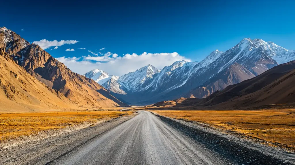
The Pamir Highway is a 1,200km road through one of the most remote mountain regions on earth — the Pamir Plateau, called the “Roof of the World” with genuine justification, where average elevation exceeds 3,500m and the highest pass (Ak-Baital) sits at 4,655m. The highway runs from Osh in Kyrgyzstan to Dushanbe in Tajikistan, spending most of its length within 20km of the Afghan border, and crosses landscapes so alien — high-altitude desert, salt flats, turquoise glacier lakes, valleys where the light shifts from gold to violet in minutes — that the primary challenge for most travelers is not the logistics but simply absorbing what you’re seeing. It is genuinely one of the world’s great road trips. It is also genuinely not for everyone.
| Best time to drive | Late June–September; passes may be snowed in October–May |
|---|---|
| Starting points | Osh, Kyrgyzstan (north) or Dushanbe, Tajikistan (west) |
| Duration | 7–14 days for the full route with meaningful stops |
| Visa for Americans | Tajikistan e-visa required ($50); GBAO permit required (+$20); Kyrgyzstan visa-free |
| Budget | $60–100/day including transport, accommodation, meals |
| Transport | Shared 4WD taxi or private vehicle with driver (mandatory for most) |
Is the Pamir Highway Worth It?
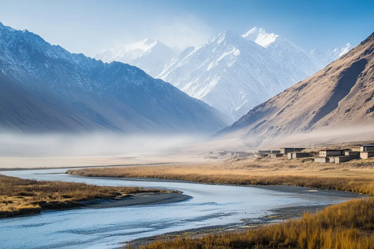
For the right traveler — one who is comfortable with rough roads (long stretches are unpaved and potholed), basic homestay accommodation (shared rooms, outdoor toilets in some villages), altitude effects (headaches and breathlessness are normal above 3,500m), limited food options in remote sections, and zero cell signal for days at a time — this is among the most memorable trips available. The landscape is unlike anywhere else. The Wakhan Corridor, running alongside Afghanistan, is one of the most geopolitically strange and scenically dramatic places I’ve been: a narrow valley with Afghanistan 20 meters across the river, Tajikistan behind you, Pakistan visible in the peaks to the east, and China 30km away. People cross into Afghanistan here to buy supplies at the weekly market. It is very far from anything ordinary.
If any of the above conditions sounds like a dealbreaker — if you require reliable accommodation booking systems, consistent restaurant options, or paved roads — save this one for later in your travel life.
The Route: Key Stops
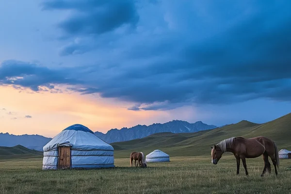
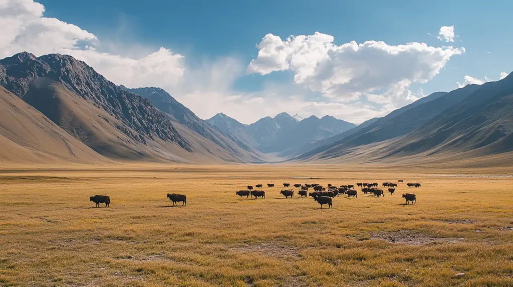
Osh to Sary-Tash (Kyrgyzstan side): The drive from Osh through the Alai Valley with views of Lenin Peak (7,134m) is the accessible introduction. Sary-Tash at 3,200m is a dust-blown village at the Kyrgyz-Tajik border crossing. The scenery gets serious here — wide high-altitude plains, yurt camps, herds of horses with no fences anywhere.
Karakul Lake (Tajikistan): A glacier lake at 3,914m, dark blue-gray, ringed by peaks over 6,000m. The village of Karakul has a few family guesthouses; staying overnight for the sunset and sunrise is worth the bleak conditions. Temperature can drop to -15°C in August nights. Bring a proper sleeping bag even in summer.
Murghab: The largest settlement on the Tajik Pamirs — population about 6,000, a dusty frontier town at 3,618m with an open-air market where Kyrgyz traders sell goods trucked in from China. The market operates on Saturdays and is a remarkable cultural crossroads. Stock up on supplies here; the stretch to Khorog has limited options.
Wakhan Corridor: The southern detour from the main M41 highway follows the Panj River along the Afghan border for about 200km. Small Pamiri villages, ancient fortresses (Yamchun is the most dramatic), hot springs (Bibi Fatima), and the most surreal Afghanistan proximity you can experience legally. Allow 2 full days for this section. Bibi Fatima hot spring requires bathing naked by tradition — men and women in separate areas — and is genuinely hot and good after days of dusty driving.
Khorog: The capital of GBAO (Gorno-Badakhshan Autonomous Oblast) — the permit-requiring region covering most of the Pamir. A real town with actual restaurants, a botanical garden that is one of the highest in the world, and a relaxed atmosphere after the austerity of the high Pamirs. Good base for day hikes.
Visas and Permits
Americans need a Tajikistan e-visa ($50 USD, 45 days, processed online in 2–5 days before travel) plus a GBAO permit to access the Pamir Highway ($20, can be added as a checkbox on the e-visa application). Without the GBAO permit, you cannot legally enter the Gorno-Badakhshan region where most of the highway runs. Apply at evisa.tj at least two weeks before travel.
For Kyrgyzstan (Osh), Americans are visa-free for 30 days.
Note: The Kyrgyzstan-Tajikistan border at Kyzyl-Art reopened after a two-year closure in 2023 following a border conflict. Verify current status at Caravanistan.com — the most reliable current source for Central Asian border crossing information.
Transport Options
Option 1 — Shared 4WD taxi: The most common approach. Travelers gather in Osh or Dushanbe (often facilitated by guesthouses like Osh Guesthouse or agencies like VisitAlay), fill a Soviet-era Land Cruiser or similar, and split costs. Typically $150–250 USD per person for the full Osh–Dushanbe route over 7–10 days, including driver and basic accommodation. Roads require 4WD; do not attempt in a standard car.
Option 2 — Private vehicle and driver: More comfortable, more flexible, more expensive ($800–1,500+ for a 10-day private tour). Allows you to set your own pace. Some agencies offer mountain bikes for sections of the route.
Option 3 — Self-drive: Only for experienced 4WD drivers with extensive offroad background. Navigation is challenging, roads require judgment, and mechanical breakdowns in remote sections can be genuinely dangerous. Some travelers do this successfully; many do not recommend it to others.
Accommodation
Home-stays dominate the route — local families open their homes to travelers for $10–20 per person including dinner and breakfast. Quality varies from basic (shared room, outdoor toilet, bucket shower) to surprisingly comfortable. In Murghab and Khorog, small guesthouses exist. Expect shared rooms unless you specifically arrange otherwise and are willing to pay extra. The Community Based Tourism (CBT) network coordinates homestays across the route — booking through their system usually means a vetted family and fair prices.
Practical Tips
Altitude sickness is real at 3,500–4,600m. Acclimatize for at least two days before ascending quickly. Symptoms: headache, nausea, lethargy, loss of appetite. Diamox (acetazolamide) can help; consult a doctor before the trip. Go down if symptoms are severe. Carry ibuprofen at minimum.
Cash only on the entire route. ATMs don’t function in the Pamirs. Bring enough USD to cover your entire mountain time plus 20% buffer. Exchange to Tajik Somoni in Dushanbe or Khorog; don’t rely on exchange outside those towns.
The best trip planning resource online is Caravanistan.com — English-language, updated regularly by travelers, covers border crossings, transport options, and current road conditions better than any guidebook.
Frequently Asked Questions
How long does the Pamir Highway take?
The minimum is about 5 days driving from Osh to Dushanbe without meaningful stops. A proper trip with stops at Karakul, the Wakhan Corridor, and time in Khorog takes 10–14 days. Most travelers who do it rush it and wish they hadn’t — budget at least 10 days if the Wakhan Corridor matters to you.
Do I need a visa for the Pamir Highway?
Yes. Americans need a Tajikistan e-visa ($50 USD) plus a GBAO permit ($20 USD, added as a checkbox on the e-visa application). Without the GBAO permit you cannot legally travel the Pamir Highway section inside Tajikistan. Apply at evisa.tj. For the Kyrgyzstan portion (Osh), Americans are visa-free for 30 days.
Is the Pamir Highway dangerous?
Not politically — the area is genuinely safe from crime and locals are hospitable. The risks are altitude sickness, road conditions (unpaved sections with steep drops, no guardrails), vehicle breakdowns in remote areas, and mountain weather changes. Travel with an experienced driver, carry an emergency kit, and have travel insurance that covers helicopter evacuation.
What is the best time to drive the Pamir Highway?
Late June through September. High passes (including Ak-Baital at 4,655m) are typically snow-free from late June. September sees weather deteriorating and first snow possible at altitude by October. July and August are warmest but also have more travelers (relatively speaking — this remains a very uncrowded route). The road is technically open year-round but winter driving is for experienced professionals only.
Can I do the Pamir Highway as a solo traveler?
Yes, though not independently — you’ll need to find other travelers to share the vehicle with (very manageable at guesthouses in Osh or Dushanbe) or pay for a private car. Traveling solo in the Pamirs without a vehicle is impractical due to the distances and infrequent public transport. Solo travelers consistently report the route being extremely friendly and safe from a security perspective.